
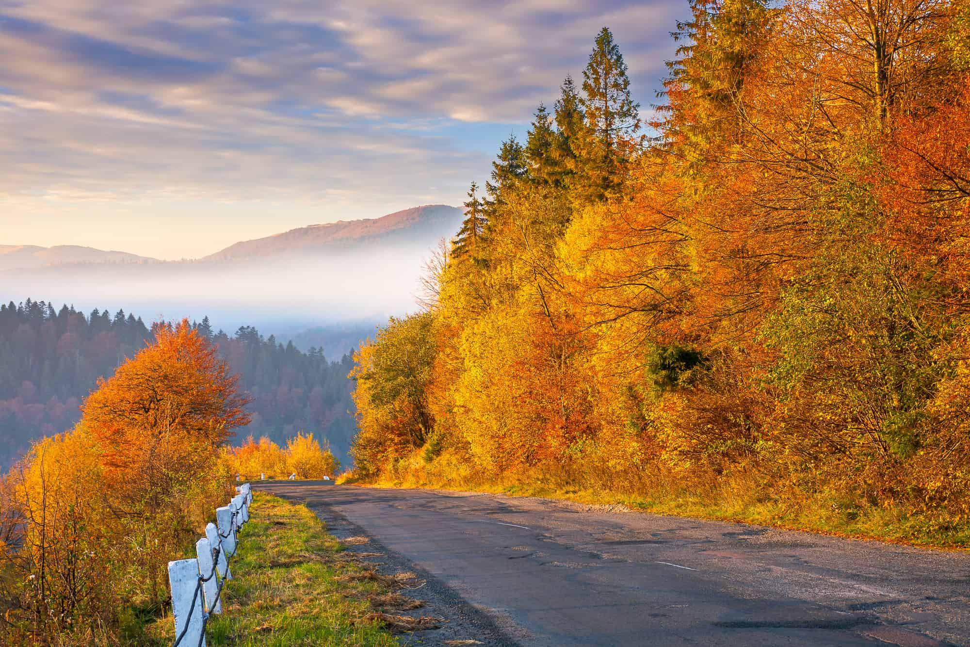
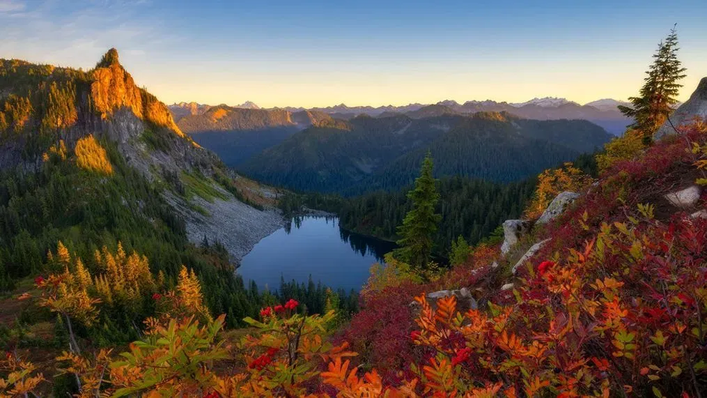
~Fall Around the Pacific Northwest~



Exclusive Inland NW Summary Issued: Sunday, October 25, 2026 @ 4:45pm
 A WIND ADVISORY is in effect for parts of our forecast area through early Friday evening * Click here for all the latest information.......
WRITTEN BY: Climatologist Bob Lutz
(Summaries will be issued as needed, and updated more frequently during times of active weather conditions)
SHORT-TERM FORECAST
Models are finally coming into agreement on the track of a couple of offshore storms, which are now expected to make more of a direct path into the Northwest beginning on Monday. This should open the door for a good period of much-needed valley rain and high mountain snow for our region. Look for showers to be on the increase Monday afternoon, then continue on and off through Wednesday. Temperatures will remain on the cooler side of average but will cool even further as the 2nd low offshore ushers in some even colder air. This will result in lowering freezing levels by midweek! As a result, some of the mountain locations above 3k feet should see the first measurable snow of the season. Those with travel plans in the higher terrain should continue to monitor the forecasts throughout the week.
LONG-TERM FORECAST
There is still poor model agreement beyond Friday, as some models are forecasting drier weather, while others are calling for more rain and snow showers. All this is dependent on what that 2nd cut-off storm does next weekend. There remains good agreement in that temperatures as a whole should remain below average. Looking a bit further ahead into the 1st half of November, the pattern looks to really ramp up again with an active storm track taking aim on the Northwest, which should send several more fronts over our region.
General Short-Term Model Agreement: GOOD
General Long-Term Model Agreement: FAIR
The long-term recovery work continues following our record 2026 wildfire season, and it's never too late to help. Please consider making a donation by clicking on the icon below. Innovia has an extremely low overhead and your entire donation stays local, meaning more of your money goes to the fire victims!